Dubrovnik Beach - Information, Activities, and Coastal Context, Croatia
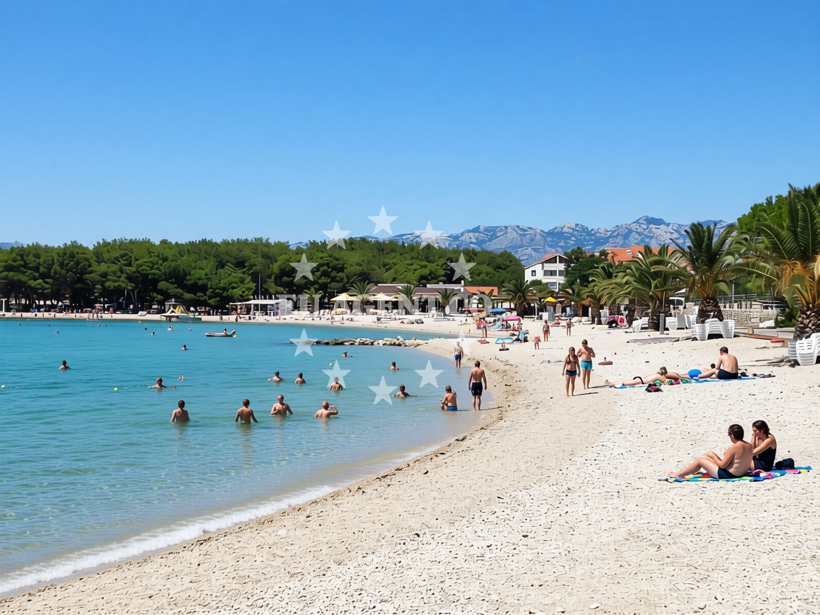
Beach character
The beach’s defining feature is its cove shape, which shelters the shoreline from direct wave action. The pebble-covered seabed transitions gradually into deeper waters, supporting moderate swimming conditions. Natural shade from nearby terrain provides intermittent relief from sun exposure. The beach’s landscape is marked by its small, uniform pebbles, which contrast with the surrounding rocky outcrops. This geological profile influences both the tactile experience of walking along the shore and the clarity of the shallow waters.Swimming and shore
Swimming conditions are generally suitable for leisure activities, with the moderate depth increase allowing for safe wading. The pebbled shore requires caution for barefoot walkers, though the stones are typically rounded. The beach’s orientation within the cove reduces wave intensity, making it a calmer alternative to more exposed stretches of the Adriatic coast. Water clarity is influenced by the pebble substrate, which can stir sediment in shallower areas.Facilities and activities
The beach supports kayaking and water entertainment, reflecting its appeal to active visitors. No permanent facilities are listed, but the beach’s natural setting accommodates temporary setups for water-based activities. The absence of structured amenities means visitors should plan for self-sufficiency in terms of equipment and refreshments.Access and location
Dubrovnik Beach is accessible via roads connecting to the broader Dubrovnik region. Its proximity to the city’s historic landmarks and the surrounding Adriatic coast makes it a convenient stop for travelers exploring the area. The beach’s coordinates (44.35123, 15.09821) place it within a sailing region known for its scenic routes and maritime heritage.What to expect
Expect a beach defined by its natural pebble shore and cove protection. The area is best suited for leisurely activities such as kayaking, with no permanent structures or services available. Crowds are likely during peak seasons, though the beach’s cleanliness and manageable size contribute to a tolerable visitor experience. The surrounding landscape offers opportunities for exploration beyond the shoreline.Practical tips
Wear sturdy footwear for the pebbled shore, as the stones can be uneven. Bring water for hydration, as shaded areas are limited. Arrive early to secure a spot during busy periods, and consider nearby accommodations for extended stays.Exploring the coast by yacht
The Adriatic coast near Dubrovnik is a popular sailing destination, with routes connecting to nearby islands and coastal towns. Yacht charter operators in the region often highlight the area’s scenic value and accessibility. For those interested in exploring the surrounding waters, the Euro-Agent Yacht Search page provides options for motor and sail boats operating in this sailing area. Charter guests may find the beach’s location useful as a reference point for coastal navigation.Cultural and Historical Context
The beach’s proximity to Dubrovnik, a UNESCO World Heritage Site, underscores its connection to the region’s medieval maritime history. The city’s historic fortifications and maritime traditions offer a broader context for visitors interested in the area’s cultural legacy.Anchorages in the surrounding area
- Anchorage — povljana — pag — 0.7 NM from beach
- Mlinica — kosljun pag — 1.6 NM from beach
- Anchorage — povljana — pag — 2.1 NM from beach
- Anchorage — vir — 2.5 NM from beach
- Anchorage — lozice — vir — 2.5 NM from beach
- Anchorage — kosljun pag — 2.7 NM from beach
- Tihovac — kosljun pag — 3.0 NM from beach
- Anchorage — lozice — vir — 3.0 NM from beach
Distances are straight-line geographic distances, not sailing routes.
Mooring buoys in the surrounding area
Mooring buoys in Vir and Simuni are located within the surrounding region.
- Vir — 3.3 NM from beach
- Jetty — simuni — pag — 8.6 NM from beach
- Punta Skala — petrcane — 9.8 NM from beach
- Jetty — ljubac — 10.0 NM from beach
- Šibuljina Point — sibuljina point — 10.4 NM from beach
Distances are straight-line geographic distances, not sailing routes.
Marine fuel stations
- Ina — zadar — 15.1 NM from beach
- Ina — preko — ugljan — 17.0 NM from beach
- Fuel station — sukosan — 19.9 NM from beach
- Ina — zaglav — dugi otok — 24.2 NM from beach
Distances are straight-line geographic distances, not sailing routes.
Harbours in the surrounding area
Harbors in Povljana, Košljun, and Privlaka are situated in the vicinity.
- Povljana — pag — 0.4 NM from beach
- Košljun — kosljun pag — 2.8 NM from beach
- Privlaka — 5.2 NM from beach
- Miškovići — miskovici — pag — 5.6 NM from beach
- Pag — 5.9 NM from beach
- Lukovo Šugarje — lukovo sugarje — rudelici — 6.7 NM from beach
Distances are straight-line geographic distances, not sailing routes.
Marinas in the surrounding area
Marinas in Šimuni and Zadar are located further from the beach.
- ACI Marina Šimuni — simuni — pag — 9.5 NM from beach
- Marina Borik — zadar — 14.1 NM from beach
- Vitrenjak Zadar — 14.4 NM from beach
- Marina Zadar — 15.0 NM from beach
- Olive Island Marina — sutomiscica — ugljan — 15.7 NM from beach
Distances are straight-line geographic distances, not sailing routes.
Restaurants near the beach
Restaurants in Povljana, such as Villa Kaštel and Lanterna, are near the beach.
- Villa Kaštel — povljana — pag — 0.0 NM from beach
- Lanterna — povljana — pag — 0.1 NM from beach
- Nirvana — povljana — pag — 0.4 NM from beach
- Mornar — povljana — pag — 0.7 NM from beach
- Restaurant — vir — 3.1 NM from beach
- Viranka — 3.1 NM from beach
- Restaurant — vir — 3.2 NM from beach
Distances are straight-line geographic distances, not sailing routes.
Navigation guides for the surrounding area
- OTOK PAG — 2.2 NM from beach
- Privlaka — 5.3 NM from beach
- Uvala Bliznica — 7.6 NM from beach
- KrusCica and Uvala KrusCica Duboka — 9.6 NM from beach
- VELESITSKI KANAL (S) — 11.5 NM from beach
Distances are straight-line geographic distances, not sailing routes.
Yachts from nearby departure bases
Yachts departing from Povljana Marina and bases in Pag City Port are nearby.
Sailing yachts
- First 45 (Egeria) — Šimuni Kolan ACI Marina — 9.5 NM from departure base to beach
- Oceanis 46.1 (Antonela M.) — Zadar Marina Borik — 14.1 NM from departure base to beach
Catamarans
- Sunreef 60 (SINATA) — Zadar Marina Borik — 14.1 NM from departure base to beach
Motor yachts
- Ferretti 780 (TESORO) — Zadar Marina Borik — 14.1 NM from departure base to beach
Motor boats
- Merry Fisher 895 — Povljana Marina — 0.3 NM from departure base to beach
- BWA Sport 22GT (BWA ) — Pag City Port — 5.9 NM from departure base to beach
- Rancraft RS Cinque.5 — Zadar Diklo Port — 12.8 NM from departure base to beach
- Rancraft RM21 (Dugi otok) — Zadar Diklo Port — 12.8 NM from departure base to beach
- Rancraft RM19 (Daycruiser) — Zadar Diklo Port — 12.8 NM from departure base to beach
- Merry Fisher 895 (Bepo) — Zadar Marina Borik — 14.1 NM from departure base to beach
Distances are straight-line geographic distances, not sailing routes.