Betina Cave Beach, Croatia
Beach character
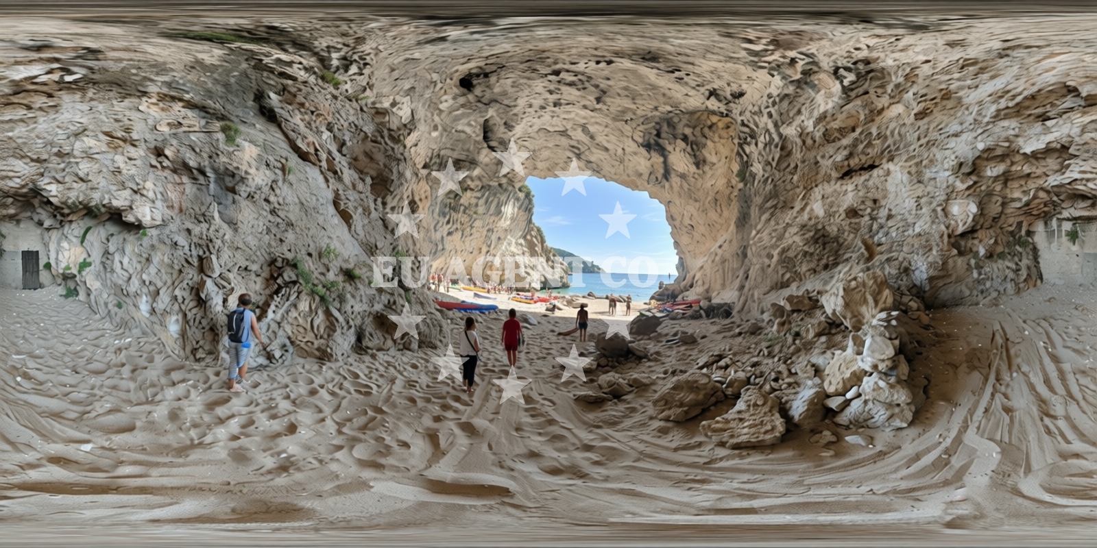
The beach's defining feature is its multi-cove structure, with three distinct sections formed by natural rock formations. The predominant surface consists of beige pebbles, creating a textured walking experience that contrasts with the smooth, deep blue waters. Cliffs rise sharply from the shoreline, offering vantage points to observe the interplay between land and sea. The sea floor extends gradually with pebbles, and water depth increases moderately as you move away from the shore. This geological profile makes it an intriguing site for underwater exploration, though the lack of amenities means visitors should plan accordingly.Swimming and shore
Swimming conditions are influenced by the pebble-strewn shoreline, which may make entry challenging for some visitors. The moderate depth increase allows for safe swimming in most areas, though the absence of designated swimming zones means users should exercise caution. The beach's natural topography creates sheltered pockets that can offer calmer waters, particularly in the northernmost cove. However, the lack of lifeguard services or safety infrastructure means swimmers should maintain situational awareness.Facilities and activities
No formal facilities are available at Betina Cave Beach. The beach's character is defined by its natural features rather than built infrastructure. However, the area supports several water-based activities: diving opportunities exist in the clear waters, kayaking is possible along the coastline, and snorkeling can be enjoyed in the shallower sections. These activities align with the beach's geological profile, though participants should bring their own equipment as no rentals are available on-site.Access and location
The beach is accessible via Zlatni potok 5, a road that connects to Dubrovnik's main coastal routes. Its proximity to the city makes it a convenient stop for visitors exploring the Dubrovnik region. The surrounding area includes historical sites and other coastal attractions, though the beach itself remains focused on its natural character. For those arriving by sea, the nearby harbor at Dubrovnik provides access to the broader Adriatic sailing network.What to expect
Visitors should anticipate a beach experience centered on natural landscapes rather than modern comforts. The multi-cove structure creates a dynamic shoreline with varying access points. The beige pebble surface and cliffside setting offer a unique aesthetic, though the lack of amenities means visitors should bring their own provisions. The beach's popularity during high season means crowds can be significant, and the reported cleanliness challenges suggest personal hygiene supplies should be included in any trip planning.Practical tips
Given the beach's reported cleanliness challenges, consider bringing a personal towel and water bottle. The pebble shoreline may require sturdy footwear for comfortable access. Early arrival is recommended during peak season to secure a preferred spot. For those planning water activities, bring your own diving, snorkeling, or kayaking equipment as no rentals are available on-site.Exploring the coast by yacht
For yacht charter guests exploring the Dubrovnik region, Betina Cave Beach offers a unique coastal perspective. The nearby harbor at Dubrovnik provides access to the Adriatic sailing routes, with opportunities to explore the Elaphiti Islands and the broader Dalmatian coast. Yacht charter companies operating in the area can arrange trips to this beach, though visitors should note the lack of marina facilities here. For more information about available yachts and sailing itineraries, visit the Euro-Agent Yacht Search page.Geological Significance
The beach's formation is a result of coastal erosion processes acting on limestone bedrock over millennia. The caves referenced in the beach's name are part of this geological history, though specific cave access points are not indicated in the beach's catalog data. The interplay between the pebble shoreline and cliff faces creates a micro-ecosystem that supports unique marine life, making it an interesting site for underwater observation.Anchorages in the surrounding area
Anchorages in the surrounding area include Dubrovnik, Lokrum, and Srebreno, offering nearby mooring options.
- Anchorage — dubrovnik — 0.3 NM from beach
- Anchorage — lokrum — 0.9 NM from beach
- Anchorage — lokrum — 0.9 NM from beach
- Anchorage — dubrovnik — 1.9 NM from beach
- Anchorage — srebreno — 3.3 NM from beach
- Srebreno — 3.5 NM from beach
- Anchorage — kolocep — 5.0 NM from beach
- Anchorage — kolocep — 5.1 NM from beach
Distances are straight-line geographic distances, not sailing routes.
Mooring buoys in the surrounding area
Mooring buoys in the surrounding area include Portoć in Lokrum and Konoba Kasar jetty near Dubrovnik.
- Portoć — portoc — lokrum — 0.9 NM from beach
- Jetty — srebreno — 3.2 NM from beach
- Quay — srebreno — 3.5 NM from beach
- Konoba Kasar jetty — zaton near dubrovnik — 4.7 NM from beach
- Jetty — kolocep — 5.0 NM from beach
Distances are straight-line geographic distances, not sailing routes.
Marine fuel stations
- Ina — dubrovnik — 1.9 NM from beach
- Ina — dubrovnik — 2.3 NM from beach
- Fuel station — sobra — mljet — 22.9 NM from beach
Distances are straight-line geographic distances, not sailing routes.
Harbours in the surrounding area
Harbours in the surrounding area include Dubrovnik City Harbour, Marina Gruž, and Gruž Harbour.
- Dubrovnik City Harbour — 0.5 NM from beach
- Marina Gruž — marina gruz — dubrovnik — 1.8 NM from beach
- Gruž Harbour — gruz harbour — dubrovnik — 1.9 NM from beach
- YC Orsan — dubrovnik — 2.3 NM from beach
- Mlini — 3.8 NM from beach
- Veliki Zaton — zaton near dubrovnik — 4.8 NM from beach
Distances are straight-line geographic distances, not sailing routes.
Marinas in the surrounding area
Marinas in the surrounding area include ACI Marina Dubrovnik, Marina Frapa Dubrovnik, and ACI Marina Slano.
- ACI Marina Dubrovnik — 1.8 NM from beach
- Marina Frapa Dubrovnik — 2.2 NM from beach
- ACI Marina Slano — 13.5 NM from beach
Distances are straight-line geographic distances, not sailing routes.
Restaurants near the beach
Restaurants near the beach include Lokanda Peskarija, Poklisar, and Arsenal in Dubrovnik.
- Lokanda Peskarija — dubrovnik — 0.6 NM from beach
- Poklisar — dubrovnik — 0.6 NM from beach
- Arsenal — dubrovnik — 0.6 NM from beach
- Taj Mahal — dubrovnik — 0.7 NM from beach
- Barracuda — dubrovnik — 0.7 NM from beach
- Nishta — dubrovnik — 0.7 NM from beach
- Skola — dubrovnik — 0.7 NM from beach
Distances are straight-line geographic distances, not sailing routes.
Navigation guides for the surrounding area
Navigation guides for the surrounding area include Komolac, Mlini and Srebreno, and Uvala Sunj.
- Komolac — 1.9 NM from beach
- Mlini and Srebreno — 4.0 NM from beach
- W-0830-R-11 00-W-1 290-G-1 580 — 5.0 NM from beach
- Uvala Sunj — 7.7 NM from beach
- Siano (Neprobic1 — 13.4 NM from beach
Distances are straight-line geographic distances, not sailing routes.
Yachts from nearby departure bases
Yachts from nearby departure bases include Sun Odyssey 449 and Excess 14, based at Dubrovnik ACI Marina.
Sailing yachts
- Sun Odyssey 449 (Ventus) — Dubrovnik ACI Marina — 1.8 NM from departure base to beach
- Sun Odyssey 509 (Iphegenia) — Dubrovnik ACI Marina — 1.8 NM from departure base to beach
Catamarans
- Excess 14 (Blue Kiss) — Dubrovnik ACI Marina — 1.8 NM from departure base to beach
- Lagoon 450 Fly (CALM POINT ) — Dubrovnik ACI Marina — 1.8 NM from departure base to beach
Motor yachts
- Prestige 590 Fly (B. GINGER) — Dubrovnik ACI Marina — 1.8 NM from departure base to beach
- Prestige 460 (Marko I) — Dubrovnik ACI Marina — 1.8 NM from departure base to beach
Gulets / Cruisers
- Gulet (Saint Luca) — Dubrovnik ACI Marina — 1.8 NM from departure base to beach
- Gulet (Nostra Vita) — Dubrovnik ACI Marina — 1.8 NM from departure base to beach
Motor boats
- Prestige 36 (Nika) — Dubrovnik ACI Marina — 1.8 NM from departure base to beach
- Prestige 42 (Marko) — Dubrovnik ACI Marina — 1.8 NM from departure base to beach
Distances are straight-line geographic distances, not sailing routes.